
Sea level rise and flooding continue to pose a substantial threat to our bayfront communities, putting homes, infrastructure, and livelihoods at risk. In response, the cities of East Palo Alto, Menlo Park, and Redwood City are working together to design a shoreline project that balances public access, shoreline protection, and healthy ecosystems. Known as the SAFER Bay Project, this cross-jurisdictional effort combines these priorities to ensure long-term resilience of bayfront habitats and communities in the face of rising seas. Green Foothills is advocating in support of this project and participating in each phase of the public process to ensure the best possible outcome for local ecosystems.
The Need to Protect the Shoreline
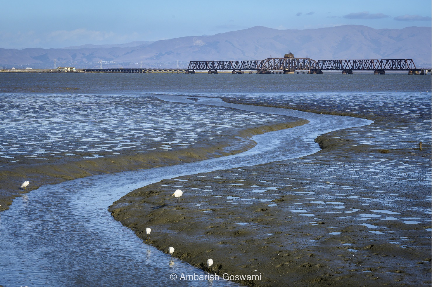
The shorelines of Redwood City, Menlo Park, and East Palo Alto form a diverse mosaic of ponds, wetlands, and marshes. Together, these interconnected and delicate systems play a vital role not only in providing scenic landscapes but also in maintaining healthy watersheds for our region. They offer a myriad of recreational opportunities for bayside communities—from bird watching and hiking to kayaking and parasailing—that residents have come to enjoy and value. Popular preserves and refuges like Ravenswood Open Space Preserve, Bedwell Bayfront Park, and Don Edwards San Francisco Bay National Wildlife Refuge are located within the SAFER Bay focus area, providing wildlife habitat, outdoor recreation, and environmental conservation.
The bayshore supports a unique network of plants and wildlife that have adapted to depend on each other for survival in the fluctuating conditions of this environment, where the tides regularly rise and fall. The shoreline is home to several specialized, threatened, and endangered species, such as the California Ridgway’s Rail, salt marsh harvest mouse, and Western Snowy Plover, among others. Waterfowl and migratory birds also rely on these marshes as critical habitat for feeding and other needs, further highlighting this area’s importance.
Unfortunately, much of the wetlands and marshes that historically made up the bayside have been lost to fill (solid land artificially created where wetlands or water used to be) and urbanization. Restoring and preserving the remaining marshes, ponds, and wetlands is essential for species survival and community flood resilience. Sea level rise and flooding, intensified by climate change, threaten these important ecosystems and the communities that live alongside them. It has created an urgent need to find sustainable, nature-based solutions that protect critical infrastructure, promote community resilience, and restore essential habitats. The SAFER Bay Project is an attempt by Redwood City, East Palo Alto, Menlo Park, and partner agencies to find appropriate ways to address this challenge.
What the SAFER Bay Project Will Do
The Strategy to Advance Flood Protection, Ecosystems, and Recreation (SAFER) Bay Project was created by the San Francisquito Creek Joint Powers Authority (SFCJPA) to design a project that addresses flooding issues and sea level rise while protecting and enhancing the bayfront. The project footprint extends along approximately seven miles of waterfront spanning Redwood City, East Palo Alto, and Menlo Park, and it includes three main parts: the installation of a shoreline protection system (i.e., levees or flood gates), habitat restoration, and creation or improvement of trails that enhance community connection. Since the SAFER Bay project spans such a large area, different shoreline protection approaches will be used across the three cities based on local conditions and habitat. New and improved trails will be placed on top or alongside the newly installed shoreline protections, and will be designed to support a variety of different recreational activities.
SAFER Bay is a large project that is intended to be built in phases over time to reduce impacts on public access and help replace habitat that may be affected during construction.
How Is Green Foothills Involved?
The SFCJPA released a Draft Environmental Impact Report (DEIR) in December 2025 to evaluate the potential impacts of the project. Green Foothills, along with Citizens Committee to Complete the Refuge, San Mateo County Bird Alliance, and Sierra Club Loma Prieta Chapter, submitted a comment letter outlining several questions and concerns regarding the DEIR’s analysis. While we support the project’s goals and commend the SFCJPA for the progress made to date, our comments point out areas where the document would benefit from greater analysis, clarity, and transparency.
As the SAFER Bay Project continues to evolve, Green Foothills and our partner organizations will remain engaged and monitor any changes, updates, or additions to the project. SAFER Bay represents just one of many future shoreline initiatives that our region will need to undertake to maintain the long-term resilience of the San Francisco Bay, and could offer a potential blueprint for cross-jurisdictional collaboration on other flood protection projects. If you would like to stay up to date and receive emails regarding Green Foothills’ work with SAFER Bay and related issues, sign up for our newsletter at greenfoothills.org/subscribe.